

About Us
Ardhi Geomatics Inc. was founded in 2010. Our vision is to be the foremost geospatial information service provider in Africa, providing tailor-made geospatial information and integrated land management ...
Read more »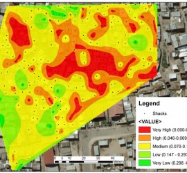
Services
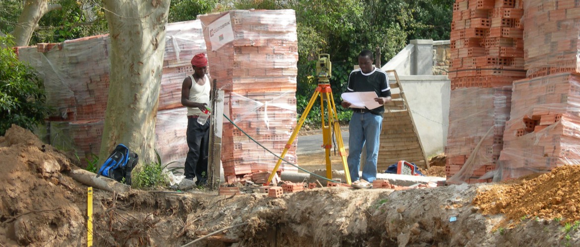
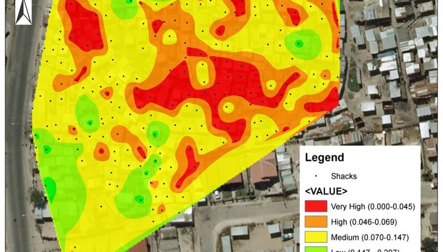
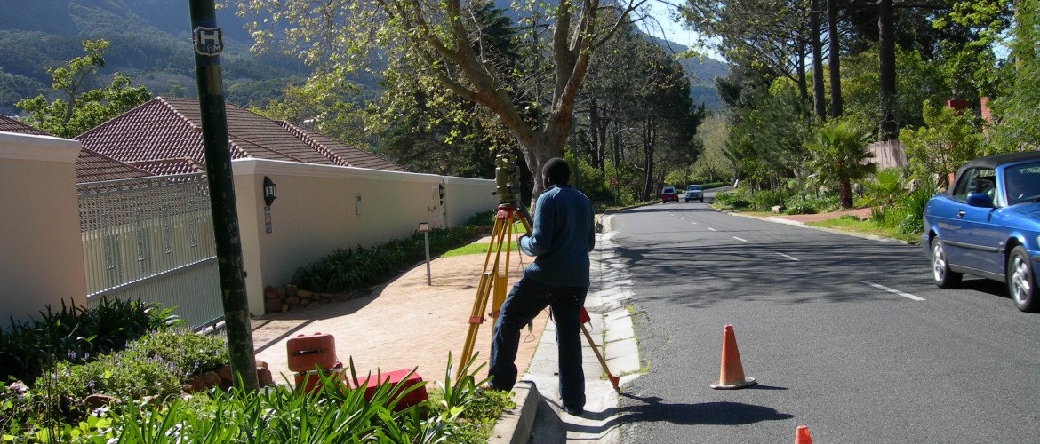
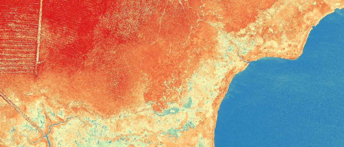
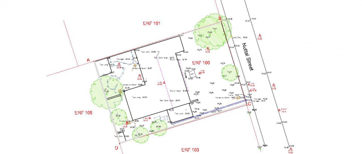
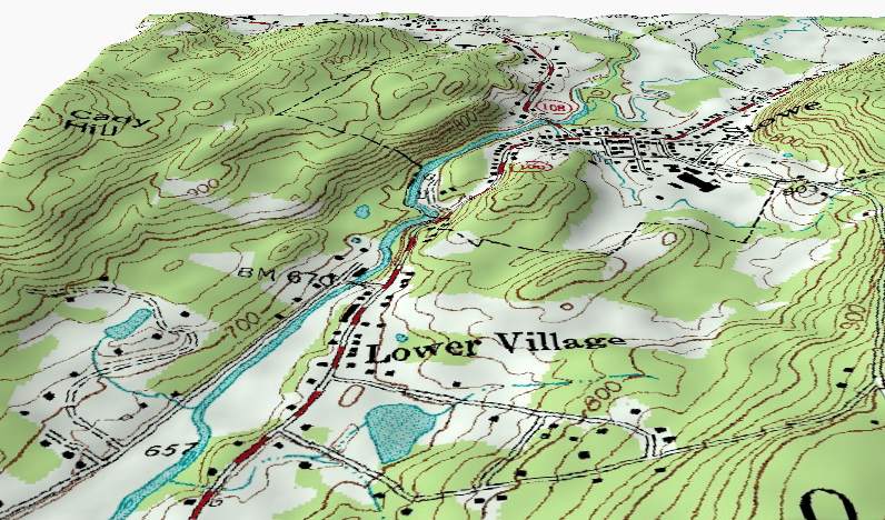
As Land surveyors we carry out Cadastral, Topographic, Engineering an As-built surveys. We also develop GIS and Remote Sensing applications.
Read more »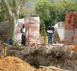
The Team
Over the last four years we have gathered valuable experience in the Geo-informatics industry as Professional Land Surveyors as well as Geographic Information Systems and Remote Sensing analyists
Read more »